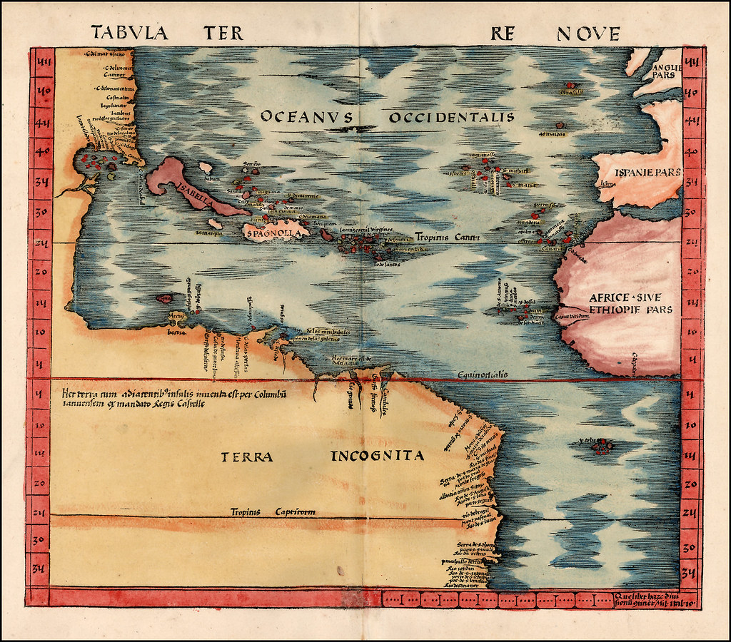
TabulaTerre Nove (The Admiral's Map) - by Martin Waldseemuller. published in Strasbourg, 1513. [link]
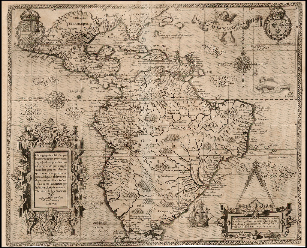
Americae Pars Magis Cognita Chorographia nobilis & opulentae Peruvanae Provinciae, atque Brasiliae - by Theodore De Bry. published in Frankfurt, 1592. [link]
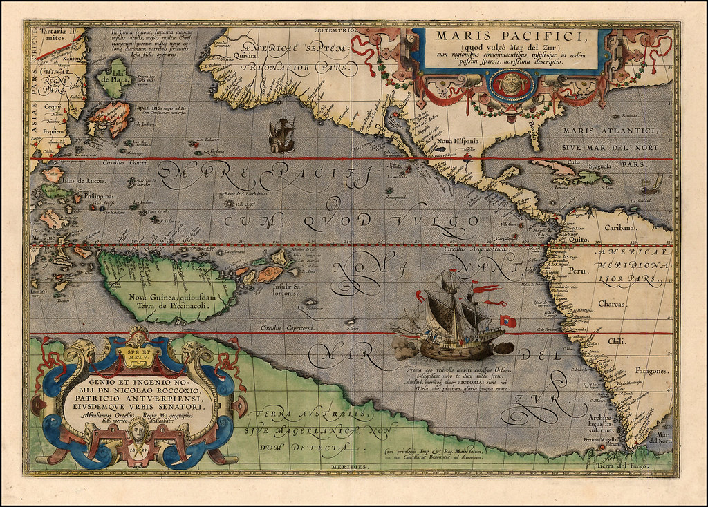
Maris Pacifici quod vulgo Mar del Zud - by Abraham Ortelius. published in Antwerp, 1595. [link]

Americae Sive Novi Orbis Nova Descriptio - by Abraham Ortelius. published in Antwerp, 1595. [link]

Descripcion De Las Yndias Ocidentales - by Antonio Herrera y Tordesillas. published in Madrid, 1601. [link]
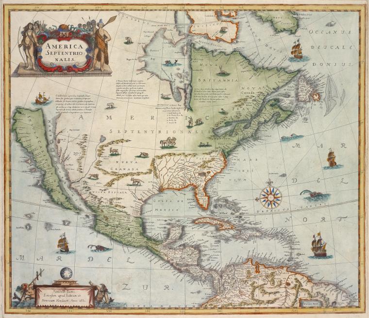
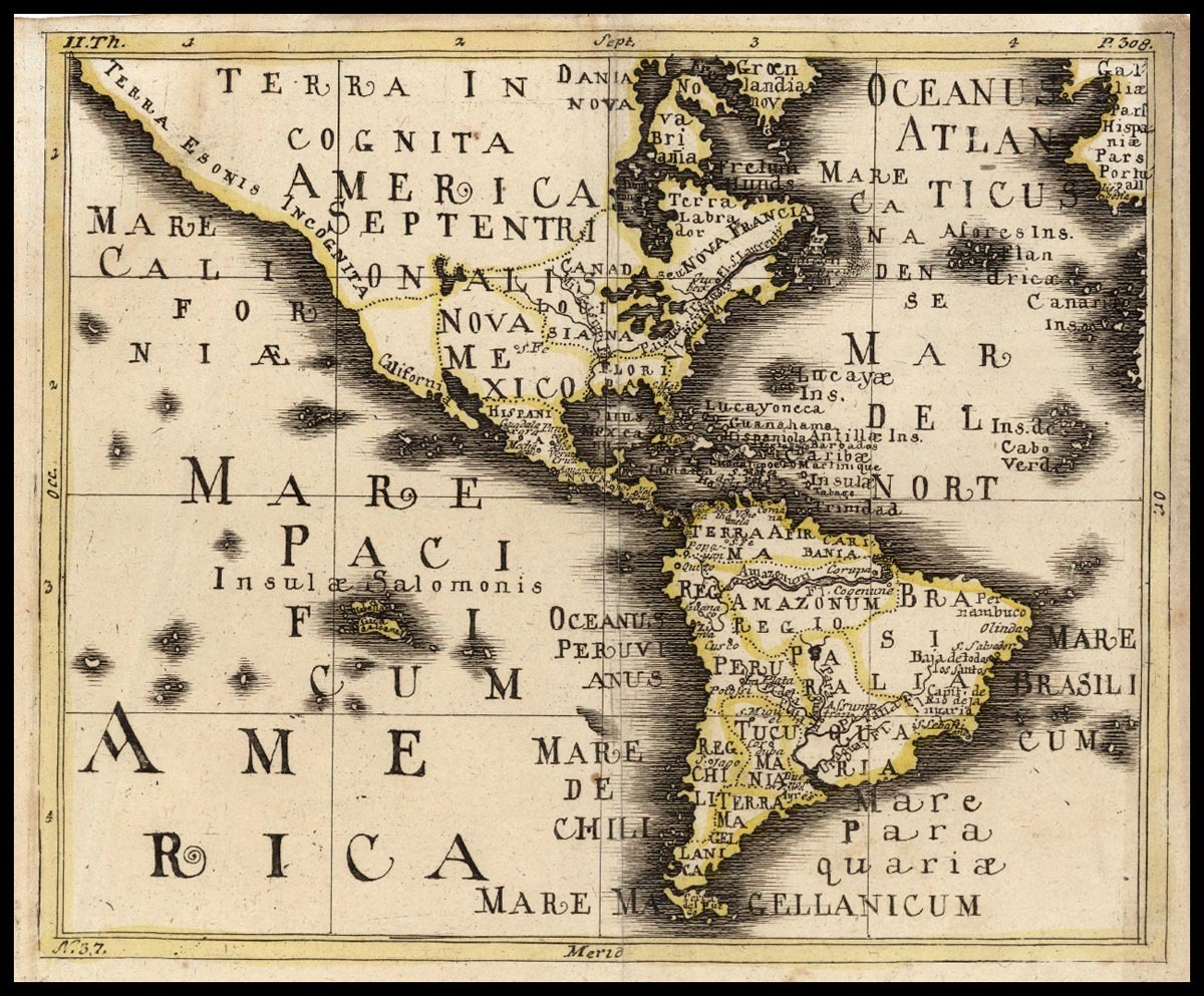
America septentrionalis - by Hendrik Hondius. 1631. [link]
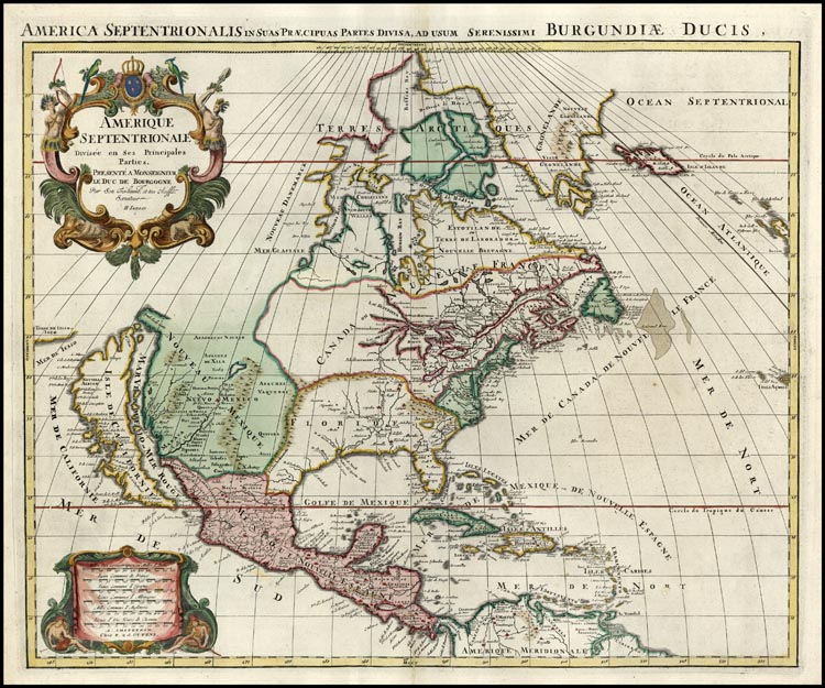
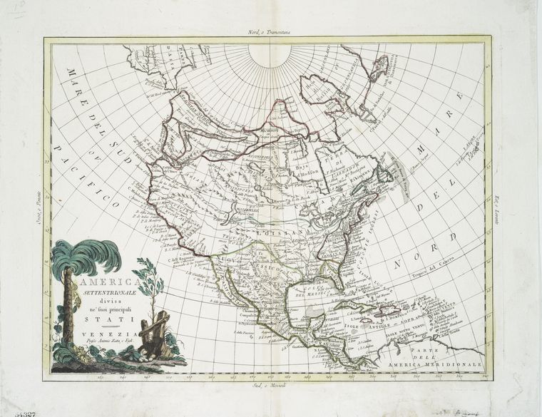
Amerique Septentrionale Divisee en Ses Principales Parties - by Hubert Jaillot, Renier Ottens, and Josua Ottens. published in Amsterdam, 1694 [link]
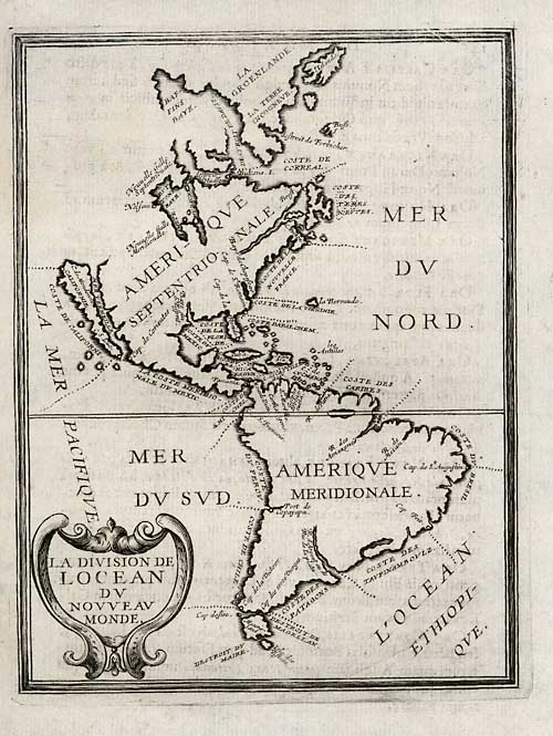
by Anon, c. 1700. [link]
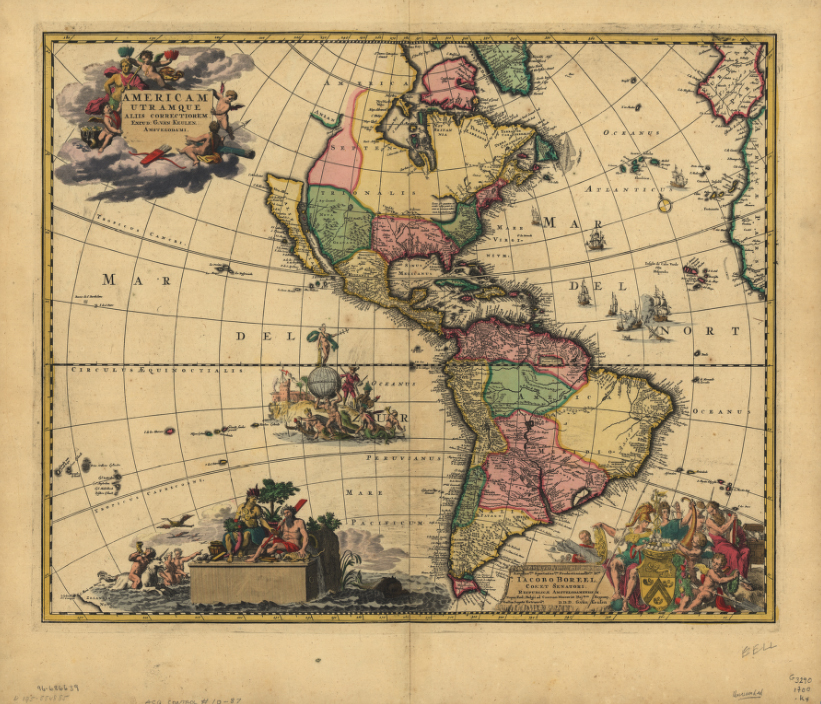
Americam utramque - by G. van Keulen. published in Amsterdam, c. 1710. [link]
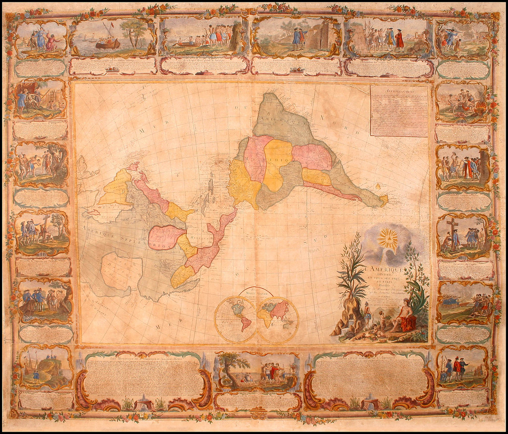
L'Amerique Divisee En Tous Ses Pays Et Etats dressée sur de nouveaux memoires et sur les derniers - by Jean Janvier and Pierre Longchamps. published in Paris, 1754. [link]
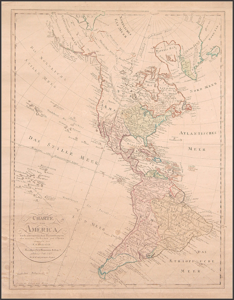
Charte Von America... - by Franz Ludwig Gussefeld, Homann Heirs, and Christoph Fembo. published in Nuremberg, 1813. [link]
-
links (where these maps were found)
-Barry Lawrence Ruderman Antique Maps - amazing collection of maps for sale [link]
-The American Revolution and Its Era: Maps and Charts of North America and the West Indies, 1750-1789 @ the Library of Congress [link]
-Charting North America: Maps from the Lawrence H. Slaughter Collection and Others @ NY Public Library [link]
-University of Illinois at Urbana-Champaign Historic Map collection [link]
-more map links @ Digital Librarian [link]


No comments:
Post a Comment